TRACER
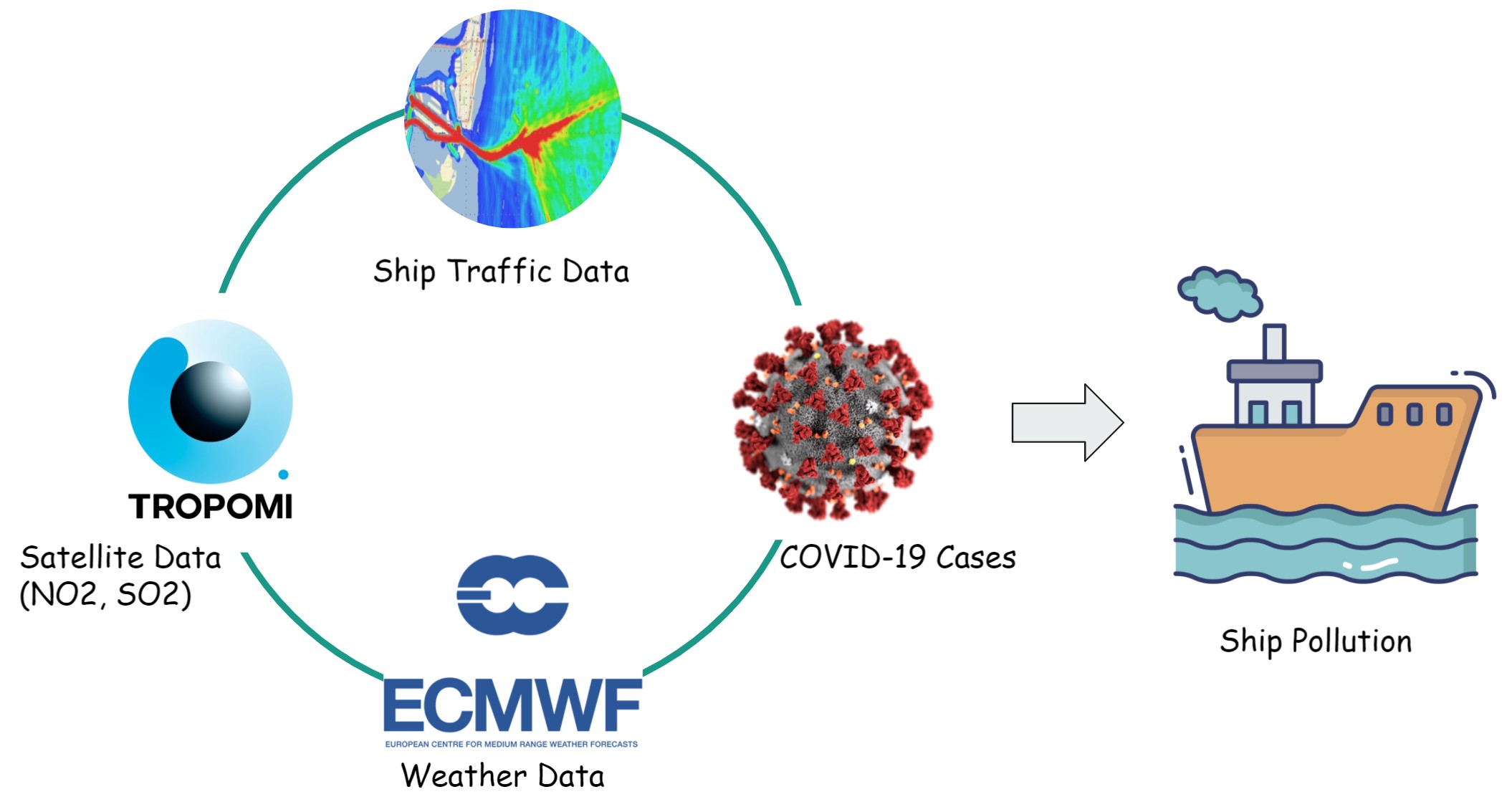
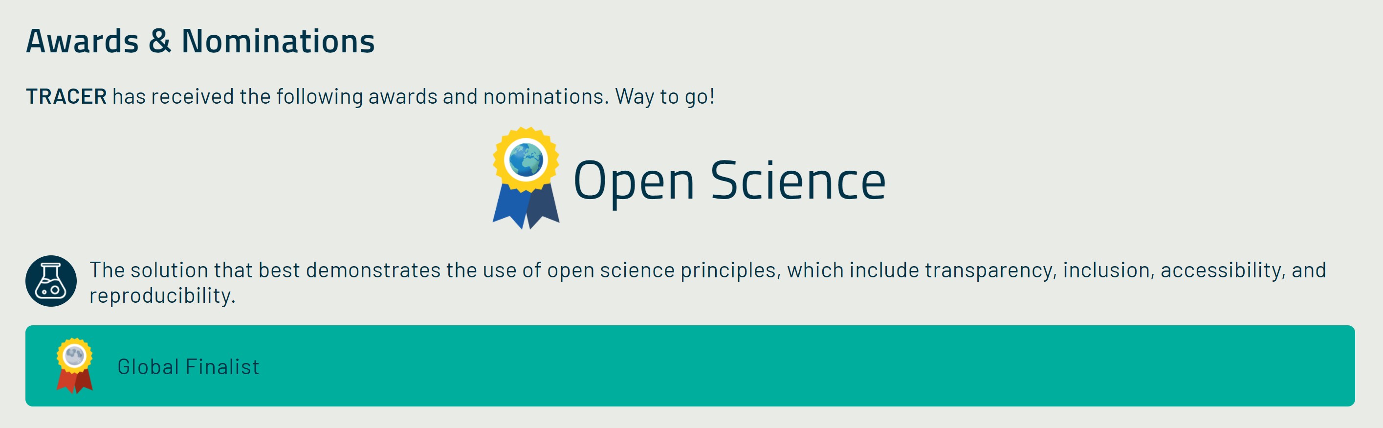
TRACER is an integrated satellite data portal that aims to track ship activities and measure NO2 pollution in regions near shipping lanes. It has received the Open Science award in the EO Dashboard Hackathon:
Solutions
- An interactive tool is developed to show ship activities and NO2 pollution by combining all available data together.
- The analysis generated by the interactive tool can help us understand how COVID-19 and weather affect the patterns between shipping dynamics and observed air quality parameters.
- The pandemic and machine learning provide the unique opportunity of identifying shipping routes and exploring the effects of ship pollution over heavily populated areas.
The Data Value Chain